Many urban zones face serious problems due to an overly high number of vehicles on city roads. Consequences are the bad quality of air, long waiting in traffic, a higher number of incidents, pressure on infrastructure, and similar. To sum up - low satisfaction of authorities, citizens, and passengers of all kinds.
A simple, reasonable and common tactic to fight this issue is to charge fees for vehicles entering congestion zones. The father of congestion pricing, William Vickrey (1914 - 1996) introduced twelve principles of efficient congestion pricing. They are an idealistic goal and no system so far can completely fulfill all of them. But we can take a look at each and discuss how existing systems are aligned to these principles.
Let's first read all of the principles and give a short explanation of them:
1. Charges should reflect as closely as possible the marginal social cost of each trip in terms of the impacts on others.
The trick here is that the speed of traffic isn't linearly connected with the number of vehicles. For example, if some road's capacity for normal traffic is 600 vehicles, there isn't a difference between having 20 or 500 vehicles on it, and in both cases, vehicles on this road should be charged equally. But as we approach 600 vehicles, the fees should increase, and they should be significantly higher and higher for each new vehicle that joins the road after 600th vehicle.
2. Charges should vary smoothly over time.
This is to avoid traffic jams which may happen if two periods are charged very differently, for example, $5 and $15. In that case, people may plan their trips to avoid a higher fee, or adjust speed once they are on the road, which can lead to congestion in a lower fee period.
3. Efficient charges cannot be determined solely by conditions at the time of the individual trip, but must take into account the impact of the trip on other traffic from the time the trip is made until the end of the congestion period.
Vehicles that are entering congestion zone at some critical time span are more responsible for congestion if they are entering it at the beginning of congested period than at the end.
This principle is connected with the first and the second plank. If queuing conditions are such that flow through a choke point is at capacity from 3 pm to 6 pm, a car going through that point at 3:10 may be delayed by only 5 minutes, but will be responsible for being one more car delayed in the queue from 3:10 until 6:00, or 2.83 vehicle-hours of delay; conversely, a car going through the choke point at 9:55 may have been delayed by 15 minutes, but will impose only 5 minutes of delay on others.
4. Efficiency can be enhanced, for a given level of data collection, by charging on the basis of the trip segment from one observation point to the next, rather than by merely the passage of an observation point.
Let's imagine we have two charging points, and distance between them is 7 miles. Someone may need to travel just 1 mile in this range, and he or she will be charged the same amount as person that travels 6 miles. In an ideal scenario, they should be charged differently.
5. There is much to be said for charging on an ex post, strict liability basis in terms of the actual impact that a trip can be calculated to have had on the traffic as actually experienced, over the balance of the day, rather than according to some schedule fixed in advance.
A fixed schedule disenables pricing adjustments. Congestion may be caused by weather, sporting events, accidents, and the like. In this case, motorists would have the opportunity to inform themselves of these situations and adjust their trips accordingly and they should be stimulated to do so by congestion fees.
6. All vehicles should be charged without exception, including trucks, doctors' cars, press cars, and cars of public officials and diplomats, among others.
Although this principle sounds strange at first, public vehicles like police cars should also be charged like everyone else, because it's easier to calculate their impact on congestion in that way. Later, priced amount can be returned to a bank account.
7. Taxicabs present a special problem of ascertaining the charge at the time of incurrence, so that it can be charged to the customer.
The idea behind this principle is a simple one. While waiting on the taxi stand, a taxicab isn't contributing to congestion. Because customer controls when he will "put" taxicab on the road, he needs to pay for congestion at the moment.
8. Curb parking, where permitted at all, should be charged on the basis of clearing the market.
Curb parking may be a reasonable solution during the night when traffic is light, but it can cause problems to pedestrians and drivers in the morning when rush hour starts.
9. One simple and inexpensive method of collection would be by means of parking cards.
Nothing to add here.
10. Another method would use parking ticket vending machines.
In these two principles Vickrey offers exact solutions. Along with innovations like internet banking, SMS payment and other methods, both of these solutions are used nowadays.
11. Delivery vehicles and other vehicles making frequent short stops need special treatment, such as by using on-vehicle meters.
Ten-feet van used for supply of small store that needs to stand on the road to deliver isn't producing the same amount of congestion as pizza delivery on a motorcycle.
12. Political interference and bureaucratic bungling can spoil the game.
In politics, there is a strange phenomenon. Those who expect losses by some change are usually much louder than those who expect some benefits. Also, bureaucrats generally have the tendency to be satisfied with the status quo.
After having set the common ground, let's take a look at two common means by which congestion pricing can be introduced in some area:
Tolling Gantries
Tolling gantry systems can be implemented in various ways. Usually, the system is made of a device inside a vehicle, tolling gantry with a device that obtains a signal from the device in a vehicle, and cameras that record vehicle's plates for additional check.
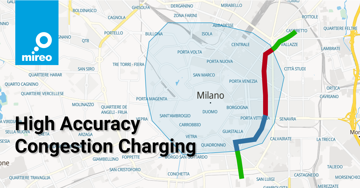
With the gantry tolling system, the central intelligence has information about trends in traffic but doesn't have precise feedback or locations of all vehicles. This kind of system is currently active in dozen of cities. Some of them are London, Milan, Stockholm, and Singapore, which will soon start using GPS supported pricing. Singapore will be the first city of this kind in the world.
GPS supported tolling
GPS is the most famous global navigation system (to find out more about it, read this blog), which enables the precise location of GPS receiver anywhere on the Earth. The application of technology in tolling is relatively simple - GPS device is installed in a vehicle, and the device sends its position by GSM or SMS protocol to the central information station, which reconstructs the vehicle's trajectory.
There are a few challenges in this process, described in the blog by Tomislav Gracin. In this article, we aren't going into details. We will just say that the challenges are more-or-less, successfully solved by industry.
The second option of GPS supported tolling is when device in car automatically calculates mileage based on GPS signal. It works on virtual gantries or charging zones with fixed fees, and there isn't a central unit that collects data about the movement of all vehicles.
When authority wants to introduce change in fee or road pricing segment, all devices need to be reprogramed, which is a time-consuming and complicated process. To add on it, as mentioned, there isn't the central unit that enables valuable insights from data. Therefore, we will consider just the first option with the central intelligence unit when we talk about GPS supported congestion pricing.
Benefits of GPS based congestion pricing
With GPS, we know the exact vehicles' location in a certain time and the number of miles it drove. If all vehicles are tracked, we can also do the same for all of them. It's obvious that this situation gives more chances to fulfill Vickrey's twelve principles. Here is sum - up table which sorts principles according to their fulfillment with GPS comparing to gantries:
| Principle | Satisfied with tolling gantry | Satisfied with GPS | Comment |
|---|---|---|---|
| 1 | Partly | Yes | If we know the exact location of other vehicles, this is much easier than if we have just a general idea that vehicle is somewhere between two gantries. |
| 2 | Yes | Yes | Basic charges can be set smoothly on both, GPS and tolling gantries. |
| 3 | No | Yes | With GPS tracking, we have information about speed, and exact position, which enables us to calculate the impact of one vehicle on others. |
| 4 | No | Yes | GPS enables this. With tolling gantries, we should have one every 10 yards for the same performance. Period. |
| 5 | Partly | Yes | With GPS it would be easier to get real-time feedback on congestion caused by some sporting event but generally speaking, similar can be done with gantries. |
| 6 | Yes | Yes | Not related to the method of charging. |
| 7 | Partly | Yes | With live tracking enabled by GPS, it's possible to have data about traffic at any moment, and fees can be set accordingly, and both parties can know them immediately. With tolling gantries similar can be done, but harder. A new central intelligence unit that summarizes data from all gantries should be created. This unit already exists in a GPS-based tolling system. |
| 8 | No | Yes | When you have map-data about curbes, and vehicles locations in each moment, this isn't hard to do. You can easily vary prices according to congestion in each microzone. With gantries, again, the same problem occurs - no exact information on the position of vehicle, no possibility of microzones - each new zone requires new gantries. |
| 9 | Yes | Yes | From this perspective, an outdated method. |
| 10 | Partly | Yes | Again, an outdated method. On a larger number of parking lots, GPS is a better solution comparing to gantries because you don't have to put a new gantry on each parking zone, and you can set pricing more precisely. |
| 11 | No | Yes | On-vehicle meters are fine, but no need for them if you have GPS - supported tracking. As we explained earlier, changes in fees present the problem if mileage is calculated on the in-vehicle unit. |
| 12 | Yes | Yes | Obviously, the principle is relevant to any new system. |
You are now probably asking yourself why this kind of system isn't introduced widely in cities all around the world?
There are few problems, and the biggest obstacle is the twelfth principle - political interference and bureaucratic bungling can spoil the game. That's also the reason why we don't have more congestion tolling gantries.
For GPS, the privacy issue is also another big no-no. Although tolling GPS tracking device is less invasive on our privacy than the usage of smartphones, and benefits for society are way ahead of potential misuses, people don't like the idea of being tracked, in general.
From the technical side, the main actual problem with GPS tolling is the handling of a massive amount of GPS positions that come from vehicles. Previous problems were very high prices of data transfer from device to central point and price of GPS tracking devices themselves. In the last ten years, prices of both are dropping almost every year - this isn't a real problem anymore.
Back to the amount of data, let's imagine we want to track data from 500 000 vehicles, from which, on average, each drives three hours a day in one month, and we get GPS position from vehicle every ten seconds while on the road.
So: 500 000 * 30 (3 * 60 * 60 / 10) = 16 200 000 000 positions.
Note: 500 000 is illustration for large number of vehicles
The software industry is highly innovative and rapidly growing, plus everyone talks about Big data these days. Hence, processing massive spatiotemporal data may look like a straightforward task: for the particular application and data consistency requirements, one should just select the fastest and the most feature-rich database/processing solution satisfying required storage and analytical needs.
But there is one huge hidden problem with solutions on the market: they do not scale to a level beyond a few billions of records stored in the underlying database. By "scaling", we mean that analytical processing of data would require exponentially more time as the data are inserted, and the number of records surpasses a few billion marks. The reason is contained in properties of multidimensional (spatial or spatiotemporal) indexes, which contemporary off the shelf solutions use.
So, data obtained from 500 000 vehicles in one month or one year, present a problem. That's why we've built SpaceTime - the solution for acquiring and analyzing an extremely large amount of spatio-temporal data collected from moving vehicles.
If you want to find more detailed information about the SpaceTime solution, visit our definitive guide through an unusual and fundamentally new approach of using spatiotemporal data in our everyday routine.